Baylands Hike
Sears Point Ranch
Dec. 1, 2007
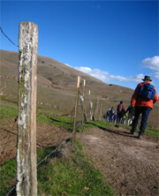
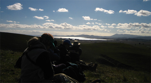
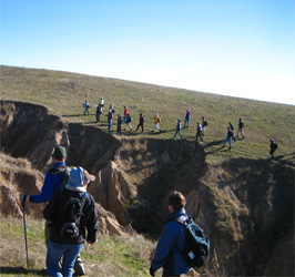
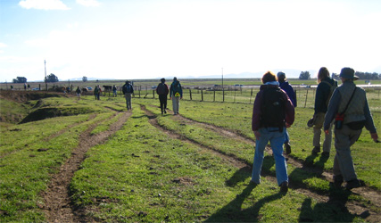
On Saturday, Dec. 1st, I joined John Brosnan, Sonoma Land Trust's Baylands project manager, and about 30 other folks for a beautiful hike up Cougar Mountain on Sears Point. The walk was billed as a great chance to do some birding and see the land. But it also provided me with my first good understanding of the scope of the Baylands restorations projects along the north shore of San Pablo Bay, complete with a sweeping perspective of the wetlands, the bay, and even the city beyond.
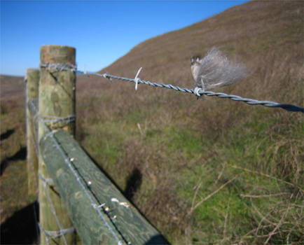
We met up at the Fish and Game office off Highway 37, near Sears Point, and crossed under the highway through a cattle-crossing tunnel, then made our way up onto the ridge. When we turned around, we could see the wetlands and the Bay in the sharp autumn sunlight. From up there, John explained how SLT's project aims to restore 1,000 acres of farmland to wetland by 2011. To do that, they'll have to build a new levee to protect the rail line and Highway 37 (both of which run under sea level) and then remove the older levee, letting the San Pablo Bay reclaim the land at the water's edge. SLT's project fits in with several others that stretch from the old Hamilton Air Force Base land off Novato, up into the lands past Sears Point. In total, the reclamation project will return several tens of thousands of acres to wetlands. (For some background on why wetlands restoration is valuable and important as sea levels rise and storm surges become more common, listen to the podcast "Climage Change and the Bay" on YourWetlands.org.) Location: Sears Point, along Hwy 37, overlooking San Pablo Bay